
Having lived in Copenhagen for over four years now, and having ridden my bike pretty consistently since arriving, I know the area pretty well. I have a lot of routes memorized, and I can ride them without thinking about where I am or being worried about getting lost. But often I get tired of my familiar routes, and strike out in a new direction.
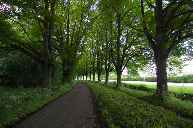
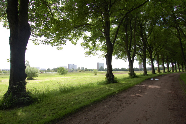
Sometimes these experiments don’t turn out well — I work myself into a dead end, or I find myself on the entrance to a highway where bikes aren’t allowed, for example. But sometimes I discover great paths. This happened to me a few months ago when I ventured just a few blocks down from one of my regular paths, and found a quiet, leafy path that goes on for miles.


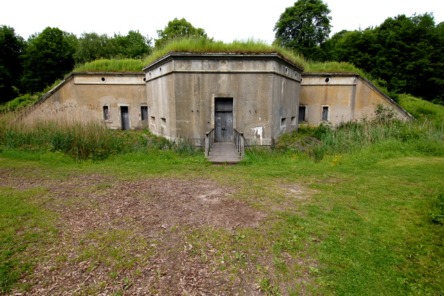
It turns out that this green strip is what remains of Copenhagen’s outer defense system. I knew that Copenhagen had an inner defense — if you look at a map of Copenhagen you can see that the medieval part of the city is surrounded by a string of citadels and a string of lakes — but I didn’t know there was an outer system.
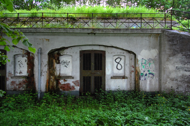
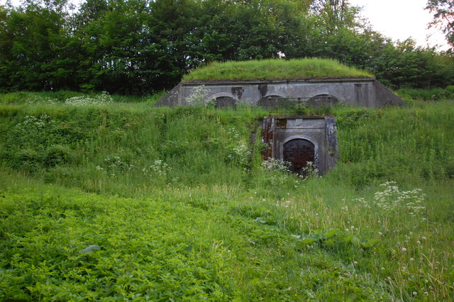
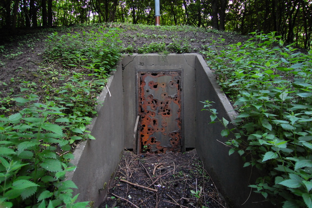
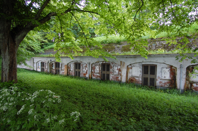
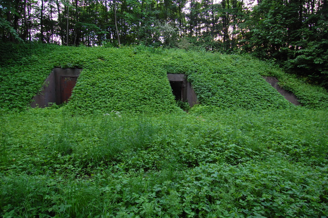
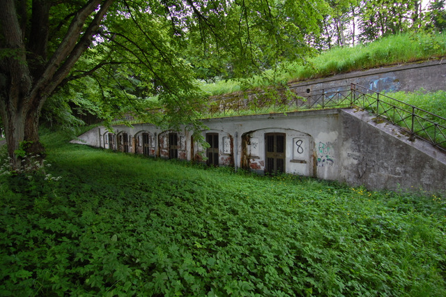
Vestvolden, as it is called (which translates to west defense) is a long series of bunkers that now roughly marks the border of greater Copenhagen. There’s a map of vestvolden here. (If you look carefully, you can also see the inner defense citadels and lakes, almost exactly in the center of the map.)
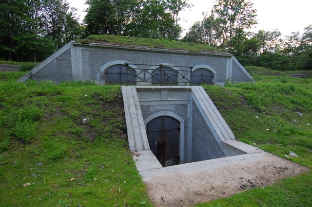
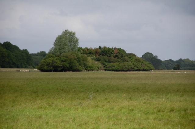
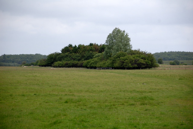


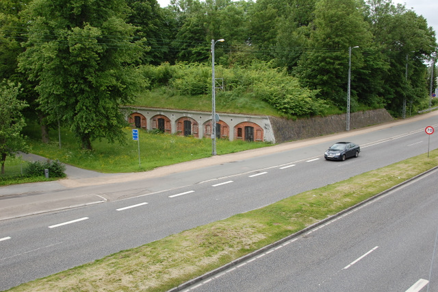

It’s a quiet and relaxing stretch. Other than the occasional cyclist or local out for a stroll, the only thing you have to watch out for is sheep, as one section is used for grazing. (In the second and third image above you can see that the sheep keep the trees nicely trimmed.)
The link to the map does not work. Otherwise a nice set of photos and a good story. Regards, Mike.
Thanks Mike — it’s fixed now.
And for anyone else reading this, Mike has a page on Vestvolden that is definitely worth the visit:
http://www.flickr.com/photos/bozzydk/sets/72157603054384472/
I’ve been reading more of your blog. Interesting!
Regards Mike